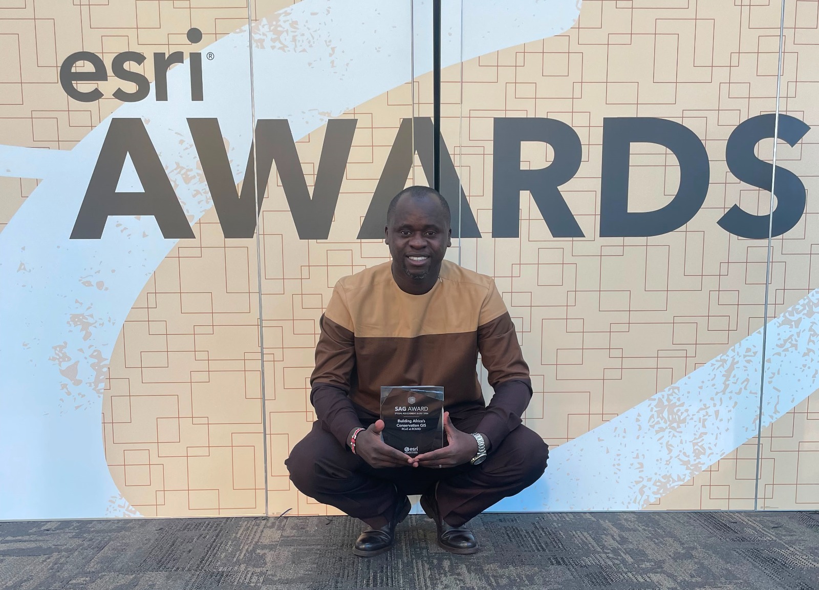
NAIROBI, 15th July 2026 – The Regional Centre for Mapping of Resources for Development (RCMRD) has been awarded the prestigious 2026 Esri Special Achievement in GIS (SAG) Award for its outstanding use of geospatial technology across Eastern and Southern Africa.
The award was presented during the Esri User Conference in San Diego, California, USA. The SAG Award recognizes organizations globally that are using GIS to solve real-world challenges.
RCMRD was recognized for applying satellite data and mapping to disaster risk management, climate change adaptation, and food security. Some of the key interventions cited include early warning systems for floods, droughts and wildfires, land degradation mapping to support farmers, and health surveillance in partnership with Ministries of Health.
The Centre has also trained over 2,000 professionals in GIS and remote sensing as part of its capacity building programs.

Receiving the award, Dr. Emmanuel Nkurunziza, Director General of RCMRD said the recognition reflects the commitment of the RCMRD team and its partners.
_”GIS is transforming how we respond to disasters and plan for development in Africa. We remain committed to leveraging geospatial technology to build resilient communities,”_ Dr. Nkurunziza stated.
RCMRD thanked Esri, its 20 member states, development partners and stakeholders for their continued support.
About RCMRD
The Regional Centre for Mapping of Resources for Development is an intergovernmental organization mandated to strengthen member states’ capacity in remote sensing, GIS, and mapping technologies for development planning.